

How a 3D GPR survey works, from the field to the model
By Tigo Sanchez, CMO · with Simona Miccolis (GPR acquisition) and Davide Murano (processing and 3D)
The objective is simple to say and hard to achieve: see what is beneath the surface without disturbing it. At Pompeii's Domus dei Gladiatori, the archaeological site became a geophysical workspace. This is the chain that turns radar pulses into a map someone can use.
What does ground penetrating radar measure?
Short answer. GPR sends short electromagnetic pulses into the ground and records the echoes. An echo appears wherever the dielectric properties of the subsurface change: between soil and stone, between a fill and the ground it cuts, around a void. The instrument records signals, not objects; objects come from interpretation.
This is the first thing to keep in mind when reading a GPR result. A strong reflection says that something changes there. What that something is depends on its shape, its depth, its continuity and what the other datasets say.
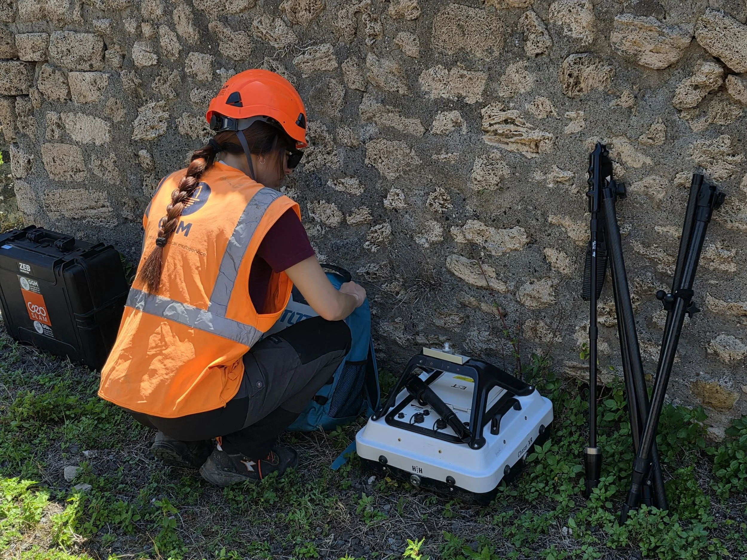
How is a 3D GPR survey acquired?
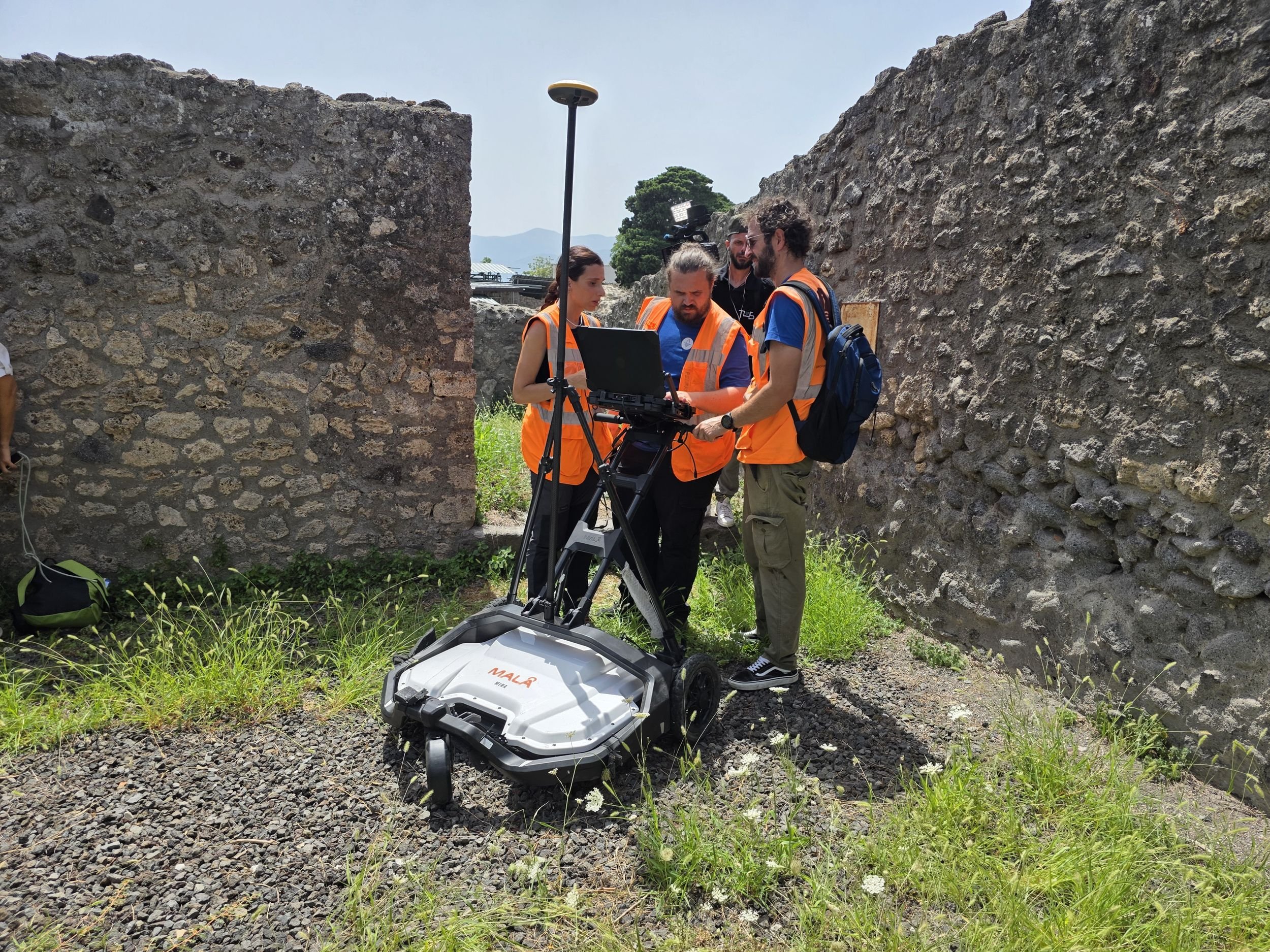
Short answer. With a multichannel array such as the MALÅ MIRA, which records many closely spaced parallel lines in one pass, and with GNSS positioning, so every trace has coordinates. Dense, positioned lines are what make a 3D volume possible instead of a set of separate profiles.
On site the operator matters as much as the instrument: reading the ground, keeping line spacing and speed regular, watching the data as it comes in and deciding in real time where to add coverage. At Pompeii that meant moving a large array through narrow passages and around visitors without losing control of the grid.
What happens after the field?
Short answer. The raw data is processed: positions are corrected, noise and ground-coupling effects are reduced, amplitudes are balanced, and the signal velocity is estimated to convert time into depth. The result is a 3D volume that can be cut into radargrams, amplitude maps and horizontal time slices.
The chain we follow is the same on every project: survey, data elaboration, interpretation, 3D model. Each step is documented, so the interpretation can be traced back to the measurement.
What is a time slice, and how do you read one?
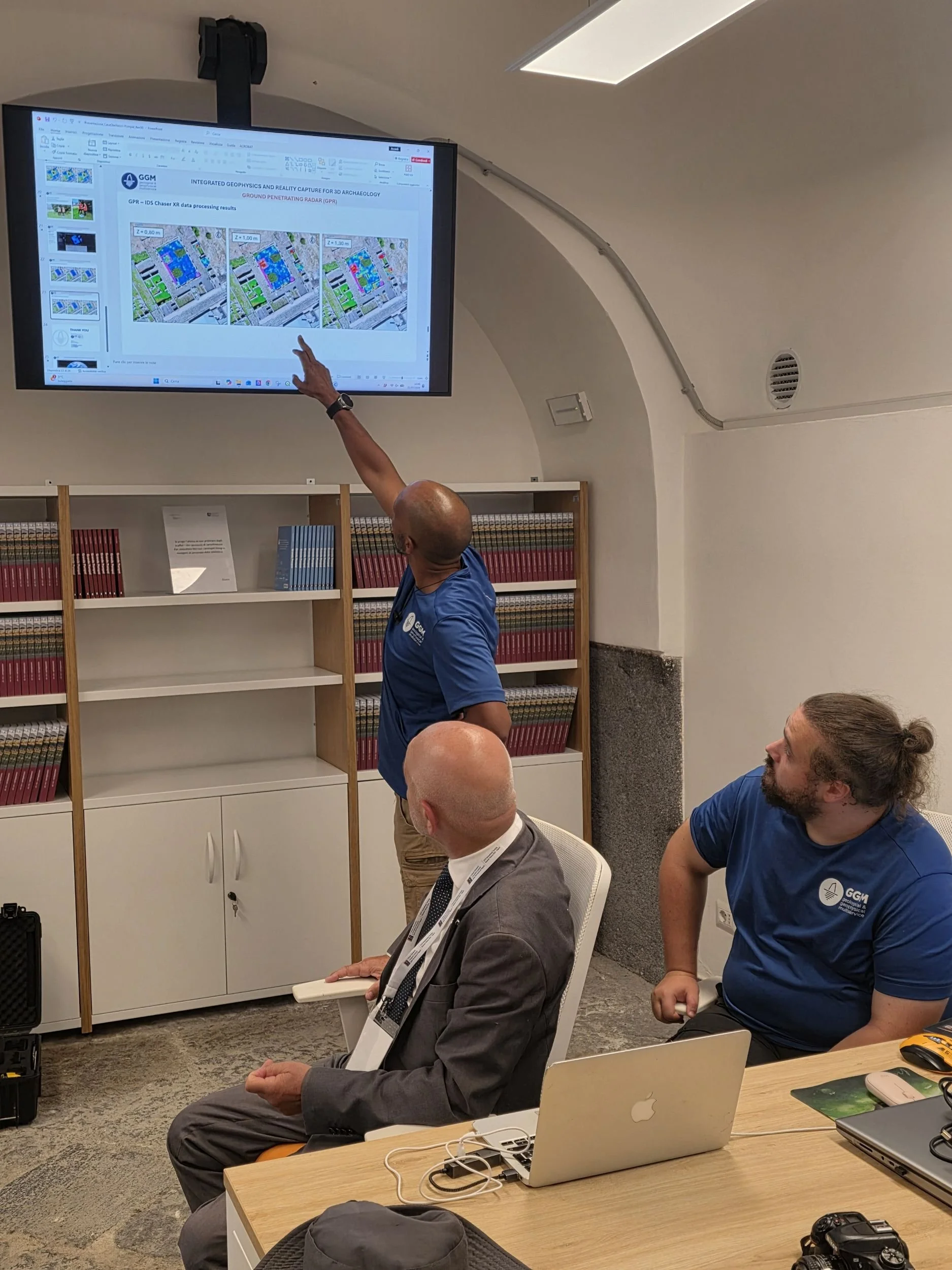
Short answer. A time slice is a horizontal map of reflection strength at a given two-way travel time, which corresponds to a depth range. Stacked from shallow to deep, slices show where a feature starts, how it changes and where it ends. Strong colours mean strong reflections, not necessarily solid objects.
At Pompeii, scrolling through the slices shows a highlighted area that we associate with an underground cistern. What makes it worth attention is not the colour but the context: it can be compared, in the same coordinates, with the standing walls measured by photogrammetry and SLAM.
Why use two different radars?
Short answer. Because frequency is a trade-off. Higher frequencies resolve finer detail but lose depth quickly; lower frequencies reach deeper with less detail. The array covers the area in 3D; a single antenna at another frequency can go back over a target. Using both checks a feature at two scales.
How does the radar data become a model?
Short answer. By registering it with the other datasets in the same coordinates: laser scanning and SLAM for standing structures, photogrammetry for the wider surface. Anomalies then become spatial information that can be located, measured, compared and handed to the people who interpret the site.
GPR survey work at the Pompeii Archaeological Park was conducted as part of the XVII International Training Summer School — Archaeology, Caves & Hypogea (https://lnkd.in/epSCpMXz), organized by COIFA (http://coifa.it/), based in Bari, and the “King Mihai I” University of Life Sciences in Timisoara, Romania (https://www.usab-tm.ro/en).
FAQ
How deep can GPR see?
It depends on the antenna frequency and on the ground. Conductive soils, such as wet clays, absorb the signal and reduce depth; dry, resistive materials let it travel further. Depth is estimated for each site, not promised in advance.
Is GPR safe for archaeological sites?
Yes. It is non-invasive and uses low-power pulses. Nothing is dug or drilled.
What is the difference between a radargram and a time slice?
A radargram is a vertical section along one line. A time slice is a horizontal map at one depth range, built from many lines.
What software is used?
Processing and interpretation use dedicated GPR software (for example MALÅ Vision for MIRA data) and 3D tools for integration with laser and photogrammetry models.
Related: Pompeii, Domus dei Gladiatori: the full case · Mapping the invisible: an ancient church of Rome · Methodology