

Every radar line needs an address: GPR and SLAM at Nerito and Colle del Vento
By Tigo Sanchez, CMO · with Giuliano D'Elia (field survey), Davide Murano (3D models, Nerito) and Chewe Chilufya (field survey, Colle del Vento)
A radar profile on its own is a grey band of reflections. It becomes evidence only when you know which street, which step and which wall it ran beside. At two sites in the mountains of Crognaleto, in the province of Teramo, we built the surface first and then looked beneath it.
Where were the two surveys?
Short answer. Both sites lie in the municipality of Crognaleto, in the Apennines of Abruzzo. Nerito is a small village where an ancient church is believed to lie underground. Colle del Vento is an archaeological site on a hillside, where stone walls still show through the grass.
They were our second and third stops at the XVII International Training Summer School, Archaeology, Caves & Hypogea, after the Domus dei Gladiatori in Pompeii.
What were we looking for at Nerito?
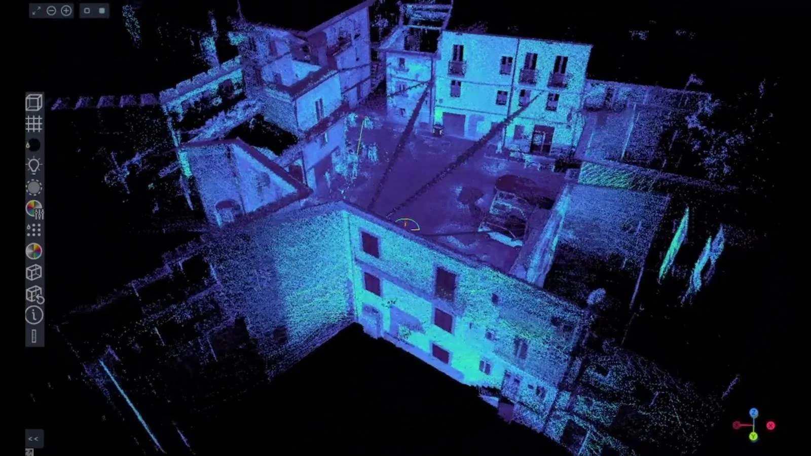
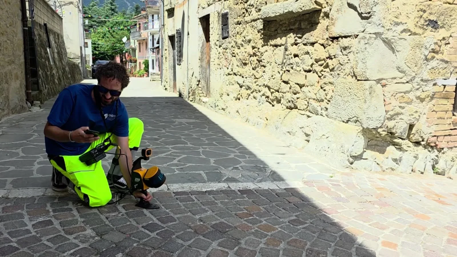
Short answer. An ancient church that is no longer visible. The brief was to search for it with an IDS Chaser ground penetrating radar, and to rebuild the village around it with a handheld SLAM scanner, a laser that maps the streets in 3D as you walk.
Nerito is not an open field. The radar had to run along paved lanes, past doorways, over steps and changes in level. In a place like this, a strong reflection can come from a buried wall, a vault, a pipe or the foundation of the house next door. The radar alone cannot tell them apart.
The SLAM scan records the streets and façades as a dense 3D point cloud, so every GPR line sits inside a model of the real village. Davide Murano processed the models. In the field: Giuliano D'Elia, with Ahmad Fallatah, PhD, of King Abdulaziz University.
What changes when the walls are still visible?
Short answer. The question moves underground. At Colle del Vento the stone walls break the surface, so the survey asked where they continue once they can no longer be seen, and whether there are voids beneath the slope.
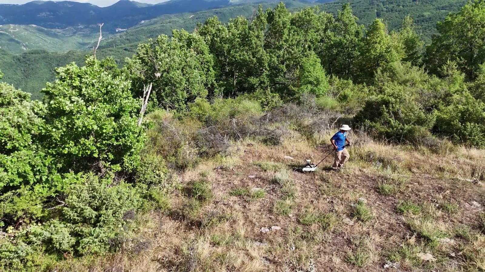
We recorded the site from above with a drone and measured the walls stone by stone with the SLAM scanner. The IDS Chaser followed the structures across the hillside, searching for buried continuations and cavities. Giuliano D'Elia and Chewe Chilufya carried out the fieldwork, with the rector of the university in Timișoara, Prof. Cosmin Alin Popescu, on site that day.
How are the radar data read against the surface?
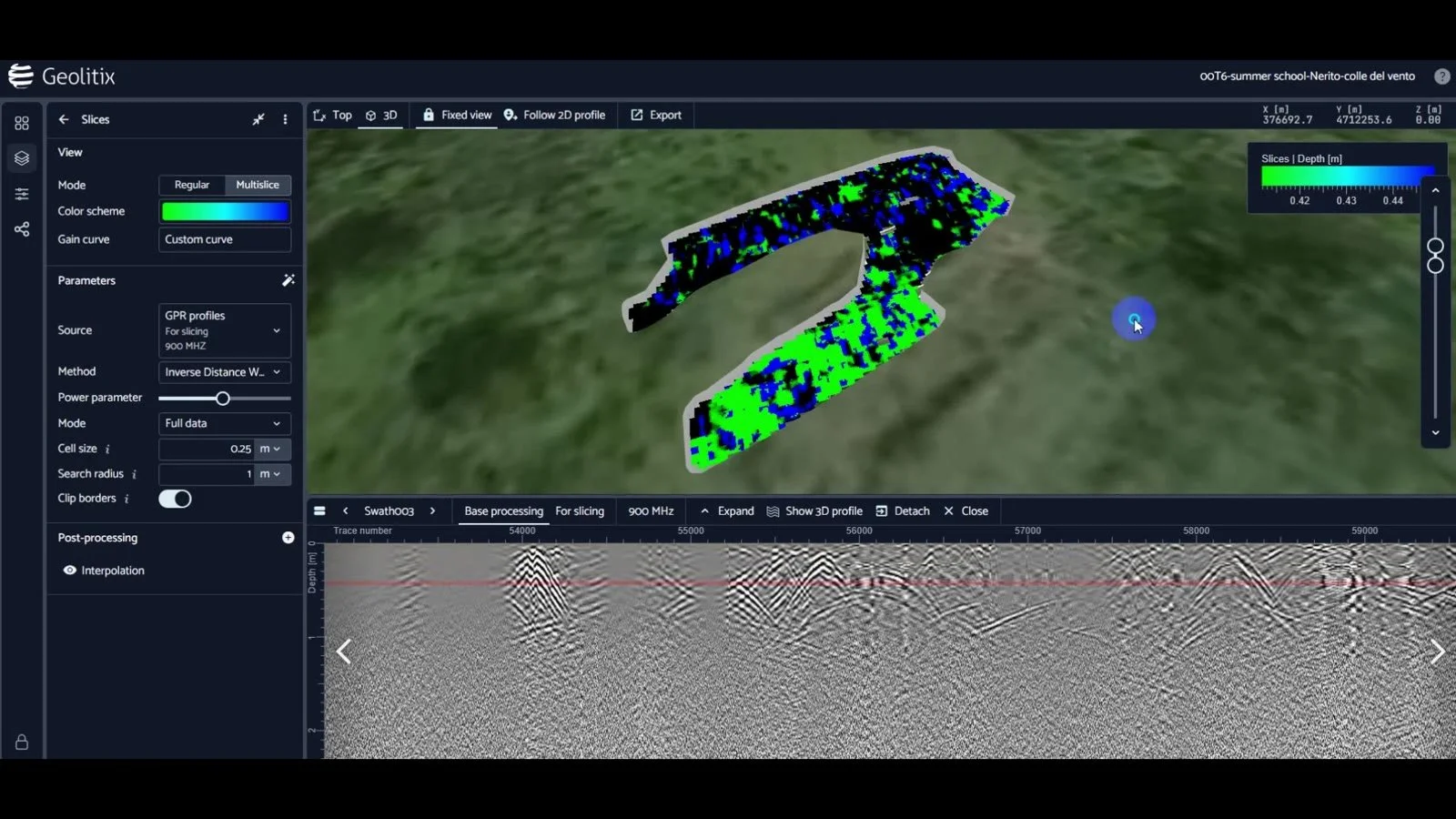
Short answer. In the same coordinates. The GPR data are turned into depth slices, horizontal maps of the reflections at a given depth, and laid over the model of the site: SLAM at Nerito, drone and SLAM at Colle del Vento.
Seen this way, a band of strong reflections is no longer an abstract shape. It either lines up with a visible wall, and may be its foundation, or it runs where nothing shows at the surface, and becomes a question worth asking. The surface model does not interpret the radar. It gives each reflection an address, so that the interpretation can be checked by anyone who walks the site.
What did the surveys find?
Short answer. We are not publishing a reading of the anomalies yet, and we will not call an anomaly a discovery before it has been checked.
A radar anomaly is a reason to look closer, with the site's archaeologists and, where needed, with a targeted excavation. What the two surveys already deliver is a record: every radar line and depth slice, and the surface around them, in one coordinate system, ready to be compared with whatever comes next.
Why does this matter for a heritage site?
Short answer. Because it lets you decide before you dig. On a village street or an archaeological hillside, every trench has a cost, in money, in permits and in damage to what is already there.
Combining surface and subsurface in one model means the first excavation can go where the evidence is strongest, and the rest of the site can stay untouched. That is how we worked at Pompeii, at Nerito and at Colle del Vento, and it is the work we offer to superintendencies, universities and municipalities.
If you are responsible for a site where the visible remains do not tell the whole story, talk to our team.
FAQ
What is SLAM scanning?
Simultaneous localisation and mapping: a handheld laser scanner that records a 3D point cloud while the operator walks, without fixed stations. It suits narrow streets and uneven ground.
Can GPR find a buried church?
It can detect walls, floors and voids that contrast with the soil around them. Whether a pattern of reflections is a church is decided by archaeologists, using the radar as one line of evidence.
Why use a drone as well as SLAM?
The drone gives the wide view of the whole site from above; SLAM gives the close, detailed geometry of each wall. Together they cover both scales.
Videos: Nerito · Colle del Vento · Summer School 2026 playlist
GPR survey work at Nerito and Colle del Vento, Crognaleto (TE), was conducted as part of the XVII International Training Summer School — Archaeology, Caves & Hypogea (lnkd.in/epSCpMXz), organized by COIFA (coifa.it), based in Bari, and the "King Mihai I" University of Life Sciences in Timisoara, Romania (usab-tm.ro/en).