

One site, multiple signals: why one instrument is never enough to explain the ground
By Tigo Sanchez, CMO · with Riccardo Di Pasquale, Gerardo Di Nunno and Matteo Bastioli (field acquisition)
What happens when you stop asking one instrument to explain the ground? On a recent survey GGM.EARTH combined airborne and ground magnetometry, ground penetrating radar and electromagnetics within the same survey logic. Here is why.
Why combine several geophysical methods on one site?
Short answer. Because every method measures one physical property. Magnetometry reads magnetic variations, GPR reads dielectric contrasts, electromagnetics reads conductivity and susceptibility. An anomaly seen by only one of them has many possible explanations. When independent measurements agree on the same spot, the list of explanations gets shorter.
That is the point of the combination. Not more instruments, but different physical measurements that speak to each other and move a survey from isolated anomalies to a more constrained picture of what is actually beneath the surface.
What does each method add?
Short answer. Airborne magnetometry gives fast, wide coverage. Ground magnetometry brings the same signal closer and checks it. GPR resolves the shallow subsurface in high resolution. Electromagnetics adds a different physical response, useful for conductive features, metals and voids. Together they cover scale, depth and material.
Airborne magnetometry (SENSYS, from drone). Covers the area quickly from above and captures magnetic variations and structural gradients. It is the wide picture.
Ground magnetometry (SENSYS). Walks the anomalies seen from the air, closer to the source, to refine and check them.
Ground penetrating radar (MALÅ). High-resolution imaging of the shallow subsurface: structures, discontinuities, buried services.
Electromagnetics (GEOPHEX). Measures apparent electrical conductivity and magnetic susceptibility. It responds to conductive features, metal and voids in a way the other three do not.
What does it take to fly a magnetometer from a drone?
Short answer. It takes a platform, a sensor and a flight path working as one: stable, consistent and close to the ground. On one of our recent surveys that meant 45 °C, dust, irrigation water and volcanic ground, with a DJI Matrice 400 carrying a SENSYS MagDrone. In airborne magnetometry, smooth flight control is part of data quality.
The magnetometer measures tiny variations of the Earth's field. Every change in height, speed or line spacing changes what it records. The aircraft, the sensor and the operator are one acquisition system; if one of them drifts, the data drifts too.
Who runs a survey like this?
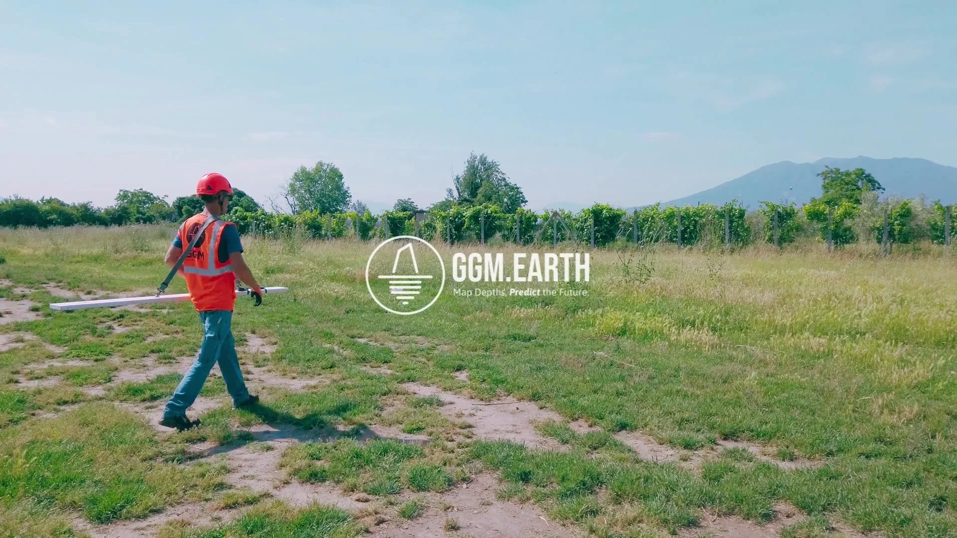
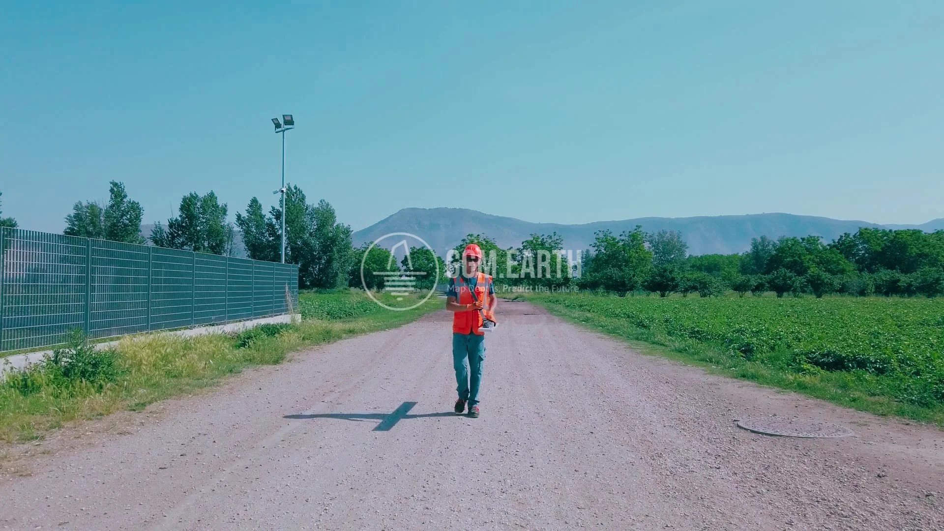
Riccardo Di Pasquale, our Co-CEO, joined as guest operator. Gerardo Di Nunno ran GNSS and survey control. Matteo Bastioli flew the drone. The principle is the one we repeat on every site: the instrument gives you a signal, the operator gives it context, and the combination gives you intelligence.
How does this become one interpretation?
Short answer. All datasets are positioned with GNSS in the same coordinates, processed separately, then compared anomaly by anomaly. Where they agree, confidence grows; where they disagree, the difference itself is information. The result is one integrated model instead of four separate maps.
This is the core of our Multilevel Survey System: measure, correlate, validate, model, decide. The methods are chosen for the question the client has to answer, not for the instruments we own.
FAQ
What is airborne magnetometry?
A magnetometer carried by a drone or aircraft that maps variations of the Earth's magnetic field over an area. It is fast and non-invasive, and it is often the first layer of a survey.
What is the difference between magnetometry and electromagnetics?
Magnetometry passively measures the existing magnetic field. Electromagnetic instruments actively induce a field and measure the ground's response, giving conductivity and magnetic susceptibility.
Can GPR replace magnetometry?
No. GPR sees dielectric contrasts at shallow depth in high detail; magnetometry sees magnetic contrasts over wider areas. They answer different questions.
When is a multi-method survey worth it?
When a wrong interpretation is expensive: before construction, excavation or investment decisions, and wherever a single anomaly could have several causes.
Related: Our methodology · Pompeii, Domus dei Gladiatori