

Deep shift: what a geological intelligence partner does
By Tigo Sanchez, CMO
September is a reset. New ground, new coordinates, sharper decisions. It is also a good moment to say plainly what GGM.EARTH is, and what it is not.
What is GGM.EARTH?
Short answer. GGM.EARTH is an applied geoscience company founded in Italy in 2009, with a division in Zambia. We work as a geological intelligence partner: we measure the subsurface with several independent methods, make them validate each other, and turn the result into models that support engineering, investment and conservation decisions.
The name once stood for Geological & Geophysical Multiservice. The work has moved on. Today the question clients bring us is rarely "can you run this instrument?" It is "what is down there, how sure are you, and what should we do about it?"
What is a geological intelligence partner?
Short answer. A partner that does not sell one method. It chooses the combination of methods that answers the client's question, correlates the results, states how reliable they are, and delivers a model someone can decide on. The technology is the means; the decision is the purpose.
A single-method contractor delivers a dataset. A partner delivers an answer and its limits. In practice that means being involved early, when the survey is designed, and staying until the model is used.
How does the Multilevel Survey System work?
Short answer. Five steps: measure, correlate, validate, model, decide. Independent methods (for example radar, resistivity, seismics, magnetometry, laser and photogrammetry) measure the same site. Their results are correlated in the same coordinates, checked against each other, built into a 2D or 3D model, and used to decide.
1. Measure. On-site or remote acquisition: geophysical sensors, GNSS, LiDAR, drones, satellites.
2. Correlate. Every dataset in the same space, so anomalies can be compared.
3. Validate. An anomaly supported by independent methods is worth more than one seen by a single instrument.
4. Model. Surface and subsurface in one 2D/3D model, up to a digital twin.
5. Decide. The model serves a decision: where to build, dig, drill, reinforce or protect.
Who works at GGM.EARTH?
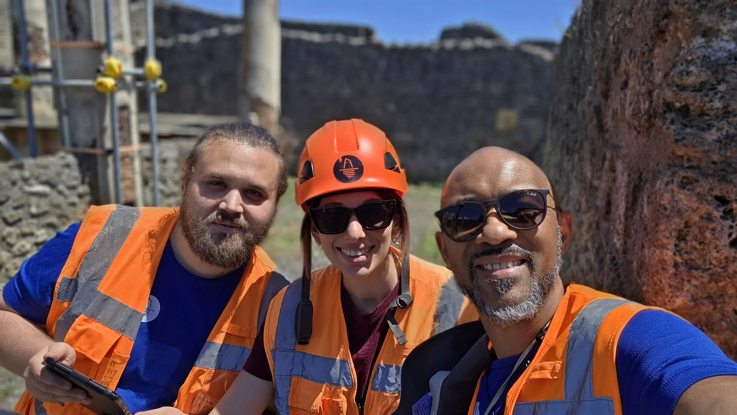
Short answer. A multidisciplinary team of geologists, geophysicists, surveyors, remote sensing and 3D modelling specialists, split between the technical headquarters in Italy and GGM Surveyors in Ndola, Zambia. Two teams, one system: local for continuity, global for standards.
The group is led by Riccardo Di Pasquale and Chewe Chilufya, Co-CEOs. Chewe Chilufya is also Technical Director, and Regional Technical Director for Zambia. In Italy the team covers project management, field operations, geophysics, geology, remote sensing and research, GIS and 3D modelling, GNSS and topographic survey. In Zambia, GGM Surveyors brings the same standards to local mining, water and infrastructure projects.
What does GGM.EARTH work on?
Short answer. Three levels. Technical delivery: applied geophysics, geotechnics, GIS, LiDAR, subsurface mapping, 3D models, monitoring, hydrogeology, digital twins. Advisory: technical due diligence and georisk, feasibility, decision support. And twelve industries, from infrastructure, energy and mining to archaeology and heritage.
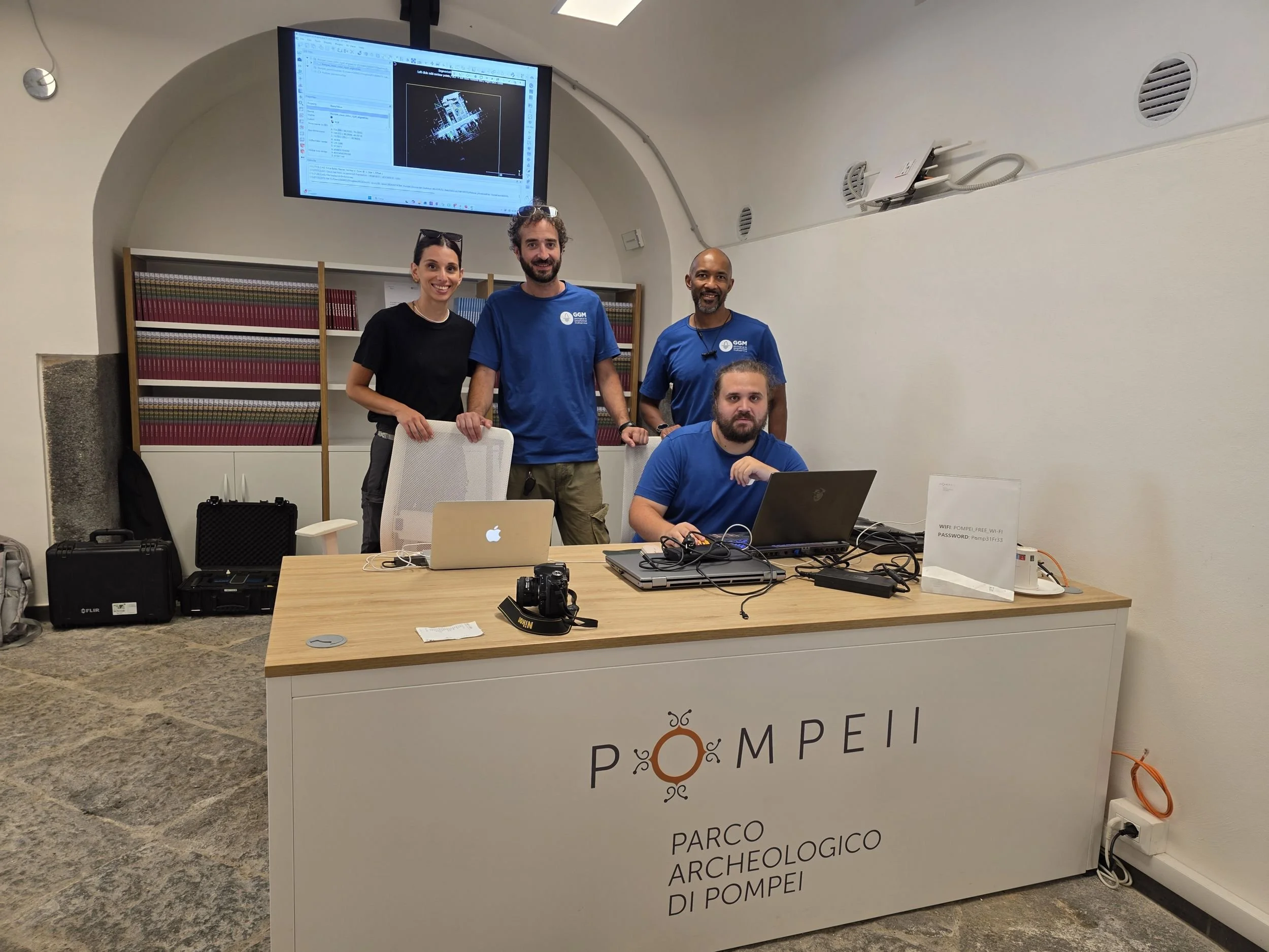
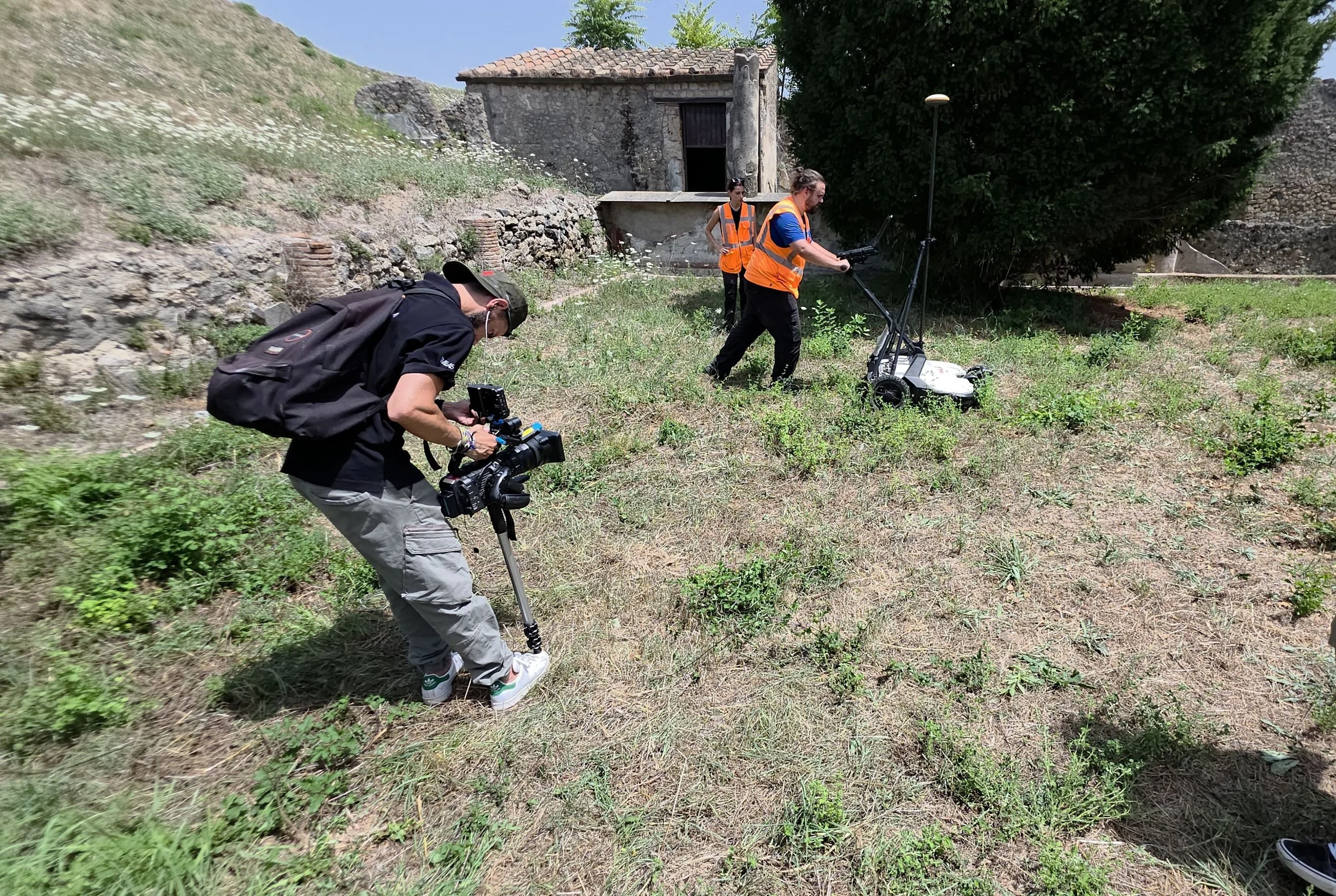
Recent work shows the range: a multi-method survey at the Domus dei Gladiatori in Pompeii, 3D GPR under an ancient church in Rome, an integrated geophysical protocol for a solar farm at Sogliano al Rubicone, multi-frequency GPR on the lining of the Marana tunnel, and resistivity surveys for emerald exploration in Zambia.
What changes this season?
Short answer. Fewer announcements, more cases. From September every piece we publish follows the same order: the problem, what is hidden, what we measure, why that method, how we validate it, and which decision it enables. If a number is missing, we say so.
FAQ
Where is GGM.EARTH based?
Headquarters in Città Sant'Angelo (Pescara), Italy. Southern Africa Division: GGM Surveyors, Ndola, Zambia.
Since when?
2009.
Is GGM.EARTH a drilling or excavation company?
No. We measure and model the subsurface with non-invasive and minimally invasive methods, and work alongside engineers, archaeologists and contractors who dig, drill and build.
Which quality standards apply?
UNI EN ISO 9001:2015 quality management.
Related: Methodology · Fields · Pompeii, Domus dei Gladiatori · One site, multiple signals