

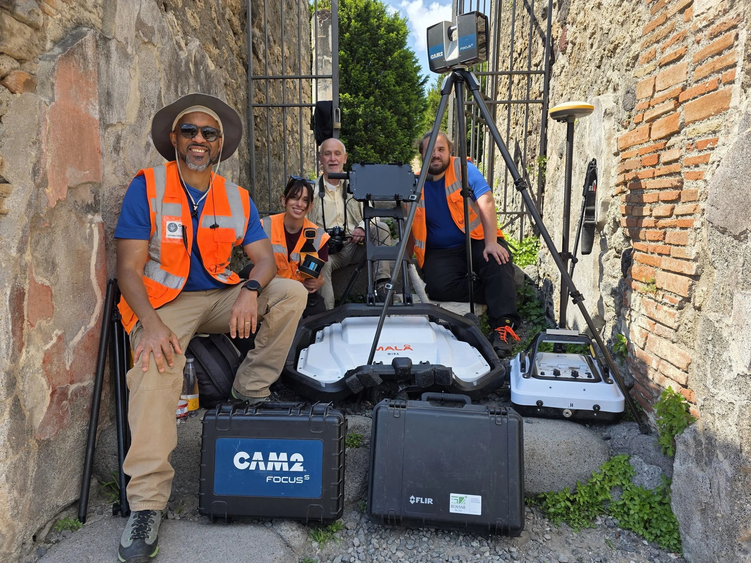
What lies beneath the Domus dei Gladiatori? A multi-method survey at Pompeii
How GGM.EARTH combined UAV photogrammetry, SLAM, 3D GPR and GNSS at Pompeii’s Domus dei Gladiatori, and why the datasets must check each other.
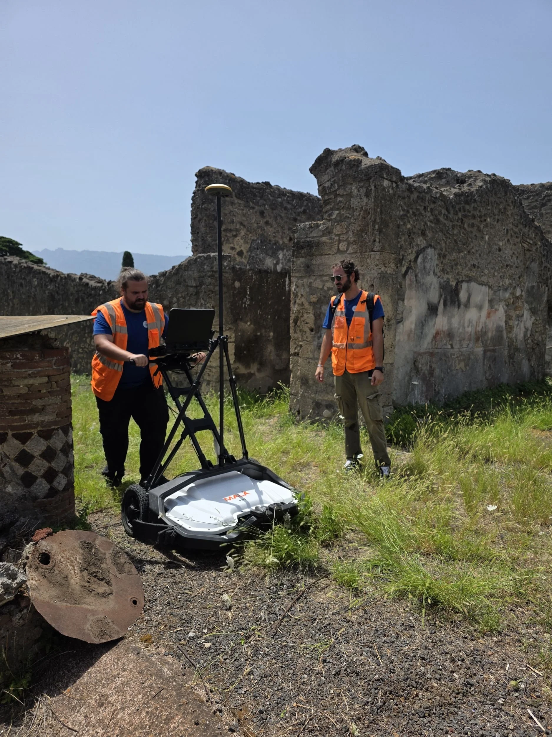
How a 3D GPR survey works, from the field to the model
Ground penetrating radar explained step by step: acquisition with a multichannel array and GNSS, processing, time slices, interpretation and 3D models.