

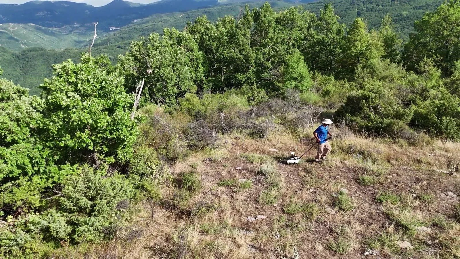
Every radar line needs an address: GPR and SLAM at Nerito and Colle del Vento
At two sites in the mountains of Crognaleto, GGM.EARTH built the surface first with SLAM and drone, then looked beneath it with GPR. Why a buried anomaly only means something when it has an address.
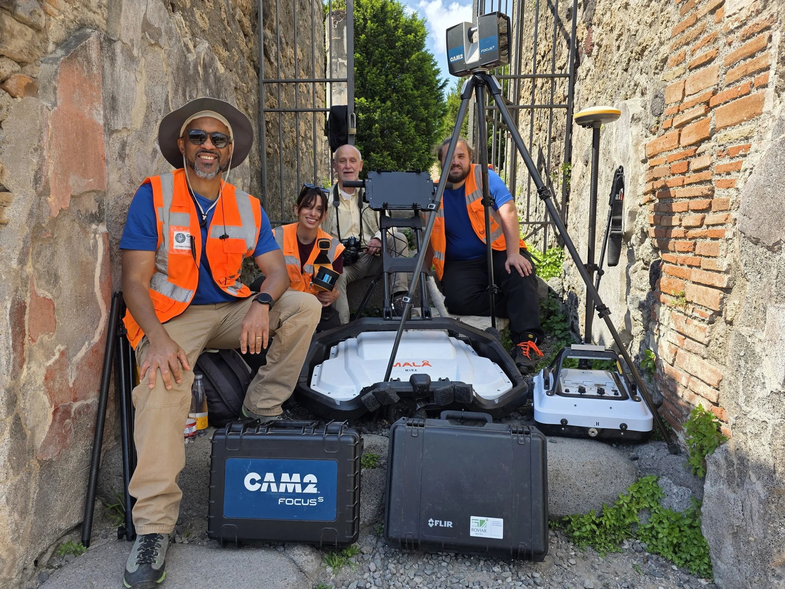
What lies beneath the Domus dei Gladiatori? A multi-method survey at Pompeii
How GGM.EARTH combined UAV photogrammetry, SLAM, 3D GPR and GNSS at Pompeii’s Domus dei Gladiatori, and why the datasets must check each other.
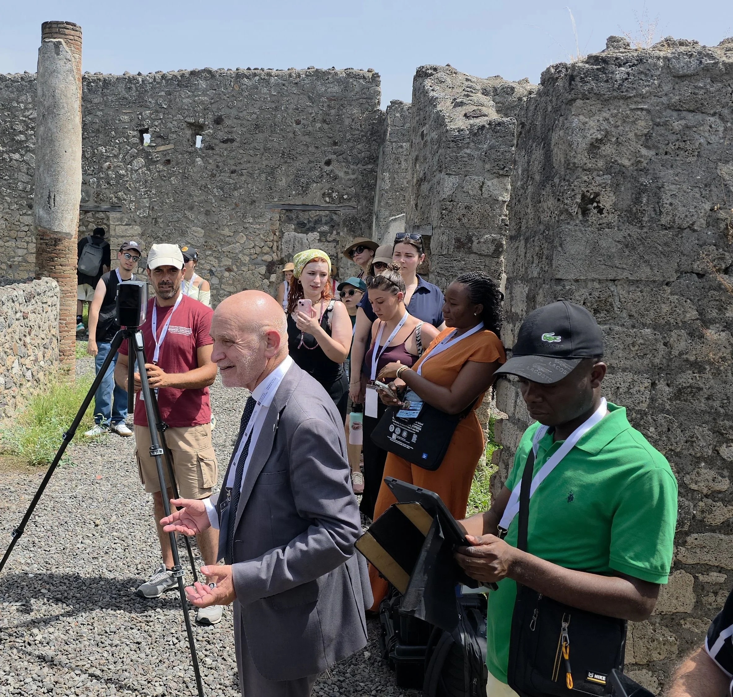
A room full of future: what young geoscientists learn at the Summer School
At the XVII International Training Summer School, young geoscientists learn to design surveys, correlate signals and question anomalies on real sites.
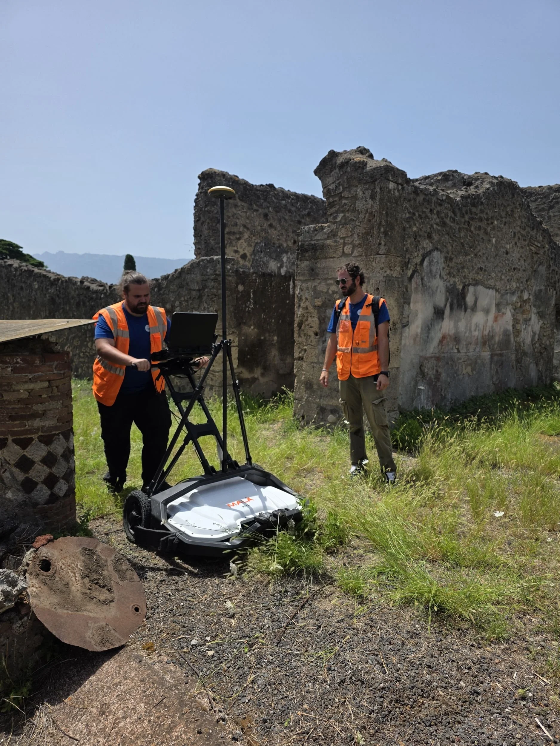
How a 3D GPR survey works, from the field to the model
Ground penetrating radar explained step by step: acquisition with a multichannel array and GNSS, processing, time slices, interpretation and 3D models.

Mapping the Invisible: Subsurface Survey in an Ancient Church of Rome
Geophysical Survey in a Church in Rome, Italy. A 3D GPR survey in a historic church in Rome reveals subsurface anomalies and identifies hidden crypts through the integration of GPR and SLAM technology. @GGM.EARTH